By Collin Eaton (NYSE:ETN) and Kathy Finn
NEW ORLEANS (Reuters) - New Orleans officials warned city residents to stock up on supplies and prepare to shelter in their homes on Friday as "life-threatening" Tropical Storm Barry was poised to come ashore as possibly the first Atlantic hurricane of 2019.
While the tempest did not yet have hurricane-force winds, it was forecast to bring torrential rains of up to 25 inches (64 cm) in certain places, which officials said risked flooding along the already-swollen lower Mississippi River.
"Tropical Storm Barry is a dangerous and life-threatening storm," National Weather Service meteorologist Benjamin Schott warned a news conference. "Major to ... record flooding will be possible."
Officials cancelled a Sunday night concert by the Rolling Stones. Residents were ordered to evacuate some nearby areas, but the New Orleans mayor said no evacuations were ordered from the low-lying city which strengthened its flood defences after devastating Hurricane Katrina in 2005.
"Nobody should take this storm lightly just because it's supposed to be a category 1 when it makes landfall," said Louisiana Governor Jon Bel Edwards at an afternoon news conference. Category 1 is the lowest ranking of hurricane strength on the five-step Saffir-Simpson scale.
U.S. President Donald Trump declared a state of emergency for Louisiana, and the region's oil production was cut in half as energy companies evacuated offshore drilling facilities.
Barry packed maximum sustained winds of 65 miles per hour (100 km per hour) on Friday morning and was centred 105 miles (170 km) west-southwest of the mouth of the Mississippi River.
Barry will likely strengthen into a hurricane, the National Hurricane Center said, with winds of at least 74 mph (119 km) by the time it reaches the central Louisiana coast on Saturday.
It was forecast to bring a coastal storm surge into the mouth of the Mississippi River that winds through the heart of New Orleans, pushing its crest to 19 feet (5.79 m) on Saturday. That would be the highest since 1950 and dangerously close to the top of the city's levees.
New Orleans is already saturated after torrential rains flooded streets on Wednesday.
"If it's worse than the other day, it'd be the worst week since Katrina," said Robert Harris, 61, as he polished his trombone while sitting in a folding chair on a sidewalk.
Memories of that storm, which flooded much of the city and killed 1,800 people, are deeply embedded in New Orleans.
'EVERYBODY'S UNSURE'
The brunt of Barry was expected to skirt the western edge of New Orleans, avoiding a direct hit. Mayor LaToya Cantrell said 48 hours of heavy downpours could overwhelm pumps designed to purge streets and storm drains of excess water.
"There is no system in the world that can handle that amount of rainfall in such a short period," Cantrell said on Twitter.
Officials from the U.S. Army Corps of Engineers, which maintains the levees, insisted that no significant breaching of the 20-foot-tall levees in New Orleans was likely.
Mandatory evacuation orders were issued for areas of Plaquemines Parish beyond the levees southeast of the city and for low-lying communities in Jefferson Parish, to the southwest.
Barry has shut more than 1 million barrels of offshore oil production and the coastal evacuation orders forced one refinery to halt operations.
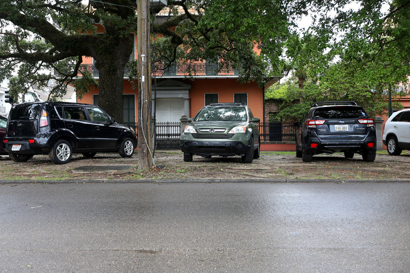
New Orleans residents who plan to ride out the storm flocked to supermarkets for bottled water, ice, snacks and beer, thronging grocery stores in such numbers that some ran out of shopping carts. Throughout the city, motorists left cars parked on the raised median strips of roadways hoping the extra elevation would protect them from flood damage.
Larry Gumpert, the 74-year-old owner of a pest-control company, said he planned to hunker down in his home, passing the time by cooking and catching up on household chores.
He worried that the century-old pumps the city relies on to clear out flood waters would be overmatched by the storm.

"If all the predictions come true, we're going to see major street flooding," Gumpert said. "The Army Corps has spent time, money and energy trying to fortify the city. This is a good test of what they have accomplished since Katrina. We'll see."